
Home / Environmental Health / Map Based Permit Search
Map Based Permit Search
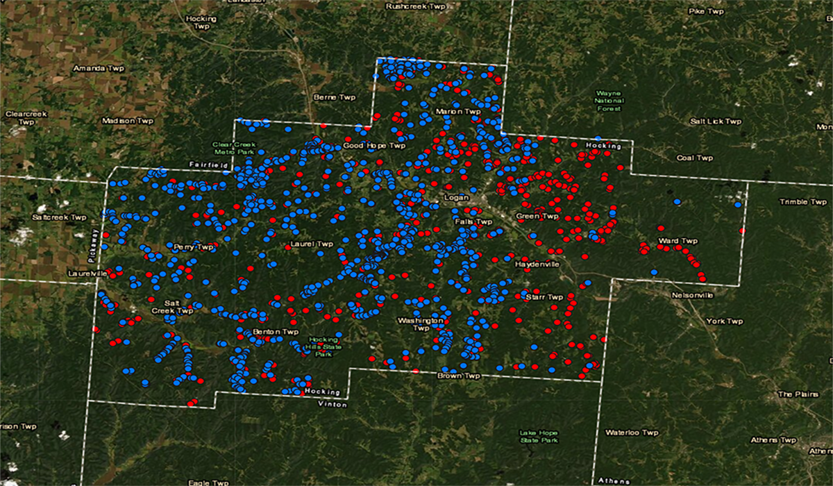
Mapping database to search for water & sewage treatment system permits
The Hocking County Health Department utilizes a web-based mapping application that locates and details permits issued for private water systems (PWS) and sewage treatment systems (STS). The mapping application is a product of ARC GIS from ESRI that the Health Department started using in 2017.
Sanitarians collect the field data, including pictures of the systems and pertinent permit information, while conducting final inspections, realty inspections, and when collecting a water sample.
The data within this mapping application is continuously updating and does not currently incorporate every system in the County. Information on systems installed prior to 2017 is uploaded as time allows. If information is not mapped for a particular address it means we either have not had a chance to upload the data or do not have any permit information for that location.
For instructions on how to utilize the mapping database, below instructional guide below or go directly to the Map Based Permit Search.